ENGLISH RECORD 137
Lori Toy’s I AM America Future Map
The commercial visionary map and its creator are identifiable, but it was not produced by NASA, USGS or another government hazard agency.01 · WHAT IT IS
Overview
Lori Toy's dream-based map depicts dramatically flooded U.S. coasts and a vast inland sea and is often reposted as an official future map.
02 · ORIGINAL TEXT AND EARLIEST SOURCE
What can be traced?
03 · HISTORICAL BACKGROUND
The world behind the text
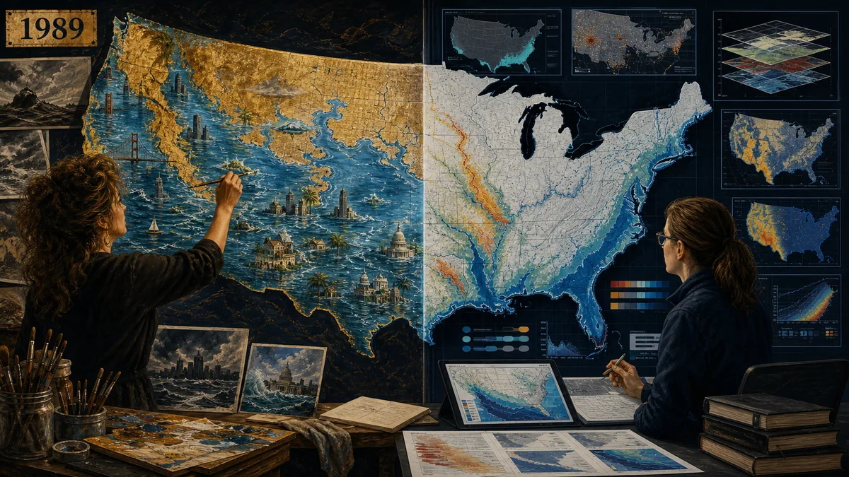
An original editorial reconstruction created specifically for this archive record. It visualizes the subject and is not documentary evidence or an authenticated historical image.
SALGIL original illustration · record sources below ↗05 · DOCUMENT TIMELINE
When the record changed
- Earliest reviewable baselineLead Stories · official-map claim check anchors the first layer used on this page.
- Interpretation expandsPersonal vision · commercial map · cropped repost · official-map misattribution
- Claim meets outcomeThe continental-scale flooding has not occurred; scientific hazard maps publish data, probabilities and time horizons absent from the visionary artwork.
- SALGIL editorial reviewOriginal, interpretation and outcome are retained as separate records.
06 · EDITION AND WITNESS COMPARISON
How the evidence for Lori Toy’s I AM America Future Map changes
The date of a document and the date of an interpretation are recorded separately.| Witness or edition | Date | Editorial status | Why it matters |
|---|---|---|---|
| Lead Stories · official-map claim check | 1989 onward | Baseline source | The commercial visionary map and its creator are identifiable, but it was not produced by NASA, USGS or another government hazard agency. |
| Scholarly or institutional interpretation | Later review | Context layer | Explains language, history and uncertainty without becoming the original text. |
| Viral quotation or modern event match | Recent circulation | Derivative layer | Most vulnerable to translation drift, omitted failures and hindsight; compare with Lead Stories · official-map claim check. |
07 · MAJOR CLAIMS
Representative claims and their limits
Central claim
Earth changes will inundate both coasts, reshape the Mississippi region and reveal spiritual safe zones.
Original-first test
The claim is checked against Lead Stories · official-map claim check, not against a later summary.
Outcome test
The continental-scale flooding has not occurred; scientific hazard maps publish data, probabilities and time horizons absent from the visionary artwork.
08 · WHAT ACTUALLY HAPPENED
Comparison with events
The continental-scale flooding has not occurred; scientific hazard maps publish data, probabilities and time horizons absent from the visionary artwork.09 · DISPUTES AND COUNTERARGUMENTS
Where interpretation changes
The main dispute concerns the distance between 1989 onward and Personal vision · commercial map · cropped repost · official-map misattribution. Translation, selective quotation, changed definitions and hindsight can make a broad record appear more exact than it was. Competing readings are therefore preserved rather than silently merged.10 · EVIDENCE SCORE & PROVISIONAL CONCLUSION
Original artwork exists · scientific basis absent
Lori Toy's dream-based map depicts dramatically flooded U.S. coasts and a vast inland sea and is often reposted as an official future map. SALGIL's provisional score reflects source traceability and testability, not religious worth or cultural importance.11 · SOURCES AND REVIEW